Satellite imagery-based analytics, empowered by AI.
Large-scale environmental observation and monitoring.
Mission
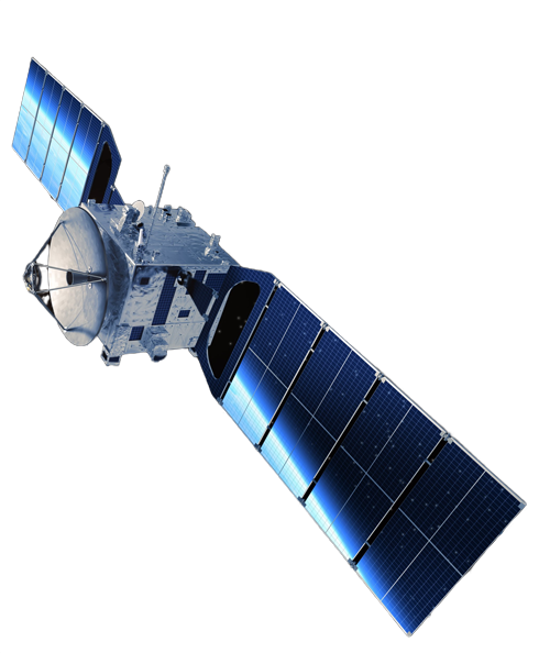
The mission of PERIOPSIS is to become established in Europe as a highly innovative company engaged in the use of emerging IT technologies (satellite imagery and aerial photography, AI, machine and deep learning, Internet of Things) for the purpose of large-scale environmental observation and modeling, with potential clients ranging from the industry and the commercial world up to governments and governmental entities, for shaping together environmental policy-making.
Why Us

Accurate
State-of-art precision in satellite imagery-based analytics.

Personalized
Analytics tailored to your needs, under a user-friendly dashboard.

Fast
Incidents of interest are reported to you immediately after detection.

Flexible
A wide range of environmental monitoring services are supported.

Who We Are
PERIOPSIS LTD is an innovative company providing satellite imagery and aerial photography-based analytic services employing state-of-art Artificial Intelligence and Computer Vision techniques.
PERIOPSIS is a spin-off company of the CYENS Center of Excellence, which is the first Research Centre in Cyprus focusing on Interactive media, Smart systems and Emerging technologies empowering knowledge and technology transfer in the region of South-East Europe.
Research & Development

PV4ALL
A novel service that leverages satellite imagery and computer vision to provide valuable information to those considering solar installations.

DumpMapper
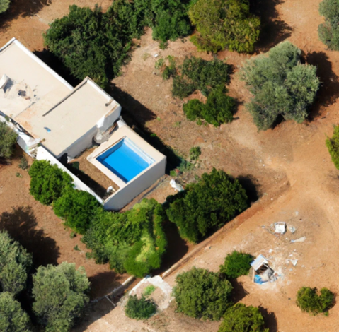
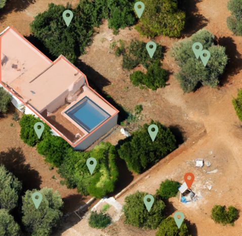
Our flagship service detects illegal dumping using high spatial resolution satellite imagery and state-of-the-art proprietary AI models.

Black Locust in Japan
Utilizing satellite imagery and deep learning to identify invasive species in Japanese forests in a groundbreaking forestry breakthrough.
Pools Finder
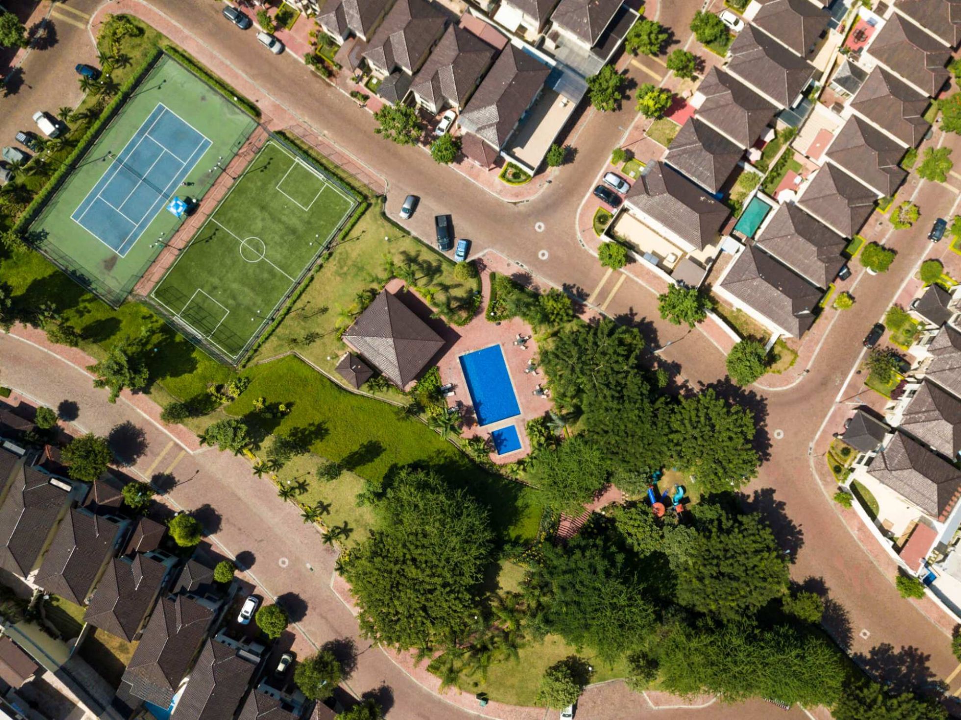
Detecting swimming pools in given geographical areas with high precision, using state-of-the-art deep learning models developed by PERIOPSIS.
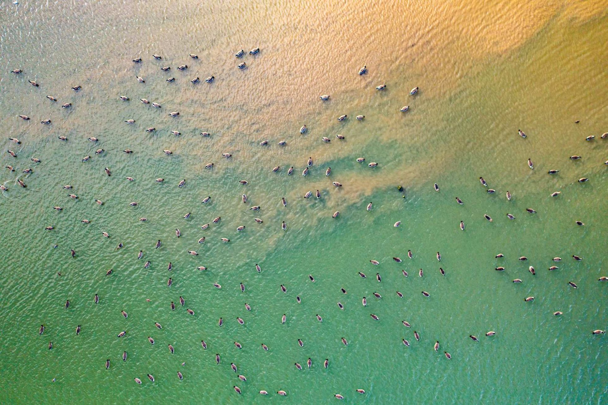
Wildlife Mapper
Counting Elephants from the Sky: An Innovative Approach to Wildlife Population Monitoring.

Shadows2Height
Inferring the height map of 2D aerial images using cutting-edge deep learning techniques.


