About Us
PERIOPSIS LTD is an innovative company providing satellite imagery and aerial photography-based analytic services employing state-of-art Artificial Intelligence and Computer Vision techniques.
PERIOPSIS is a spin-off company of the CYENS – Center of Excellence, which is the first Research Centre in Cyprus focusing on Interactive media, Smart systems and Emerging technologies empowering knowledge and technology transfer in the region of South-East Europe.


How it Works
1. Choose a polygon around the world – If you are a municipality or local community in Europe, it is highly likely that we already know the geographic area of your jurisdiction! In this case, just indicate to us that you are a municipality or local community and we will figure the details out.
2. Describe the problem you have or the challenge you want to give to us. If you have examples to share with us, on the detection/classification/counting task, then please share them with us.
3. We will come back to you with a quote and estimation
Mission
The mission of PERIOPSIS is to become established in Europe as a highly innovative company engaged in the use of emerging IT technologies (satellite imagery and aerial photography, AI, machine and deep learning, Internet of Things) for the purpose of large-scale environmental observation and modelling, with potential clients ranging from the industry and the commercial world up to governments and governmental entities, for shaping together environmental policy-making.
Our Team
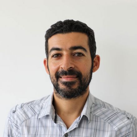
Andreas Kamilaris

Chirag Padubidri
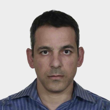
Savvas Karatsiolis

MARIOS ZITTIS

Jyoti Harti
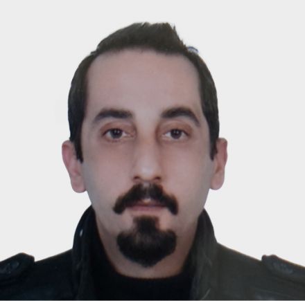
Aytac Guley
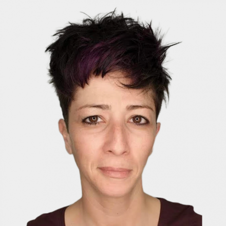
ROULLA KAZAFA

EUAGGELIA CHAKKA
What We Do

Satellite imagery and/or aerial photography analytic services.

Employing state-of-art Artificial Intelligence and Computer Vision techniques.

Shaping environmental policy-making, together with all relevant stakeholders.

Use of emerging IT technologies for the purpose of large-scale environmental observation and modelling.

Recent Achievements
Some recent achievements, using the whole country of Cyprus as a large-scale pilot, include:
- Detecting illegal dumping based on satellite imagery
- Detecting swimming pools using satellite imagery
- Estimating the area of buildings (in square meters) employing satellite imagery
- Detecting all the trees of the country using satellite imagery
- Land use/land cover (LULC) of the country using satellite imagery, based on 19 different classes of LULC (agricultural, urban, rural, green areas, forests, etc.)
Some achievements from the rest of the world include:
- Identifying invasive species in Japanese mixed forests using aerial photography
- Counting the populations of sea lions in Alaska using aerial photography
- Detecting African elephants in South Africa, Namibia and Botswana, using aerial photography
- Estimating the height of buildings from their shadows in UK from aerial photography
For more info on the above, please visit our portfolio

PERIOPSIS was selected via a very competitive process (5% acceptance rate) during the PRE-SEED 2022 call of the Cyprus Research and Innovation Foundation.


