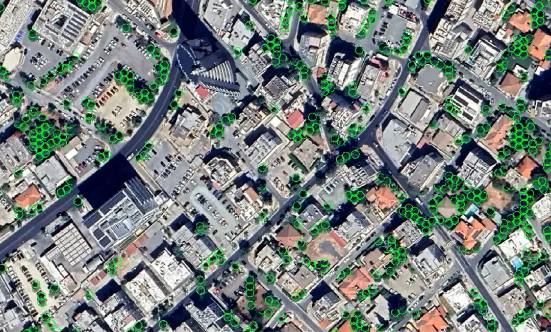
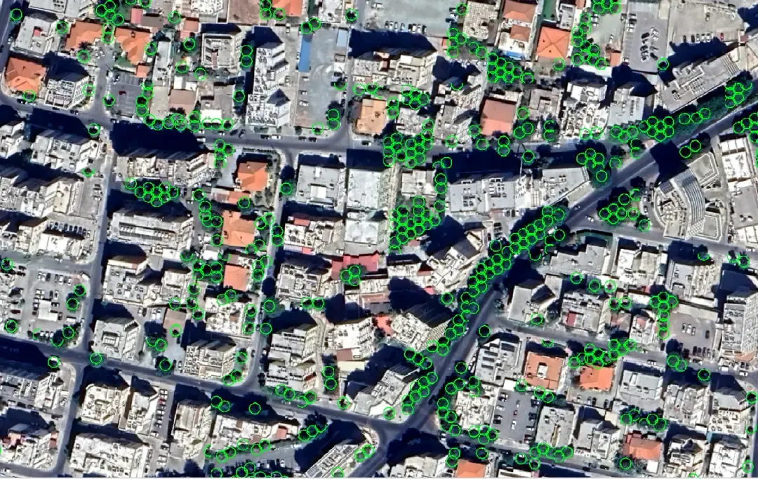
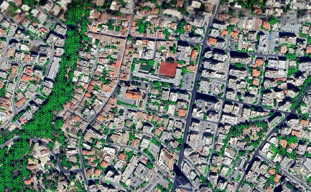
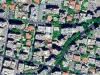
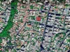
Our Trees Detection service allows to detect all trees inside the geographical area under study (area of interest, AOI) based on their canopy from high spatial resolution satellite imagery, using advanced, state-of-the-art proprietary AI models, developed by PERIOPSIS.
Access analytics powered by emerging technologies

Satellite Imagery
High spatial resolution satellite imagery, @0.3-0.5 meters/pixel, capable of detecting smaller to bigger trees.
Artificial Intelligence
Proprietary AI models trained on extensive datasets to detect trees with high precision and recall (80-87%).
Validation geographic area: Island of Cyprus (9,000 square kilometers)